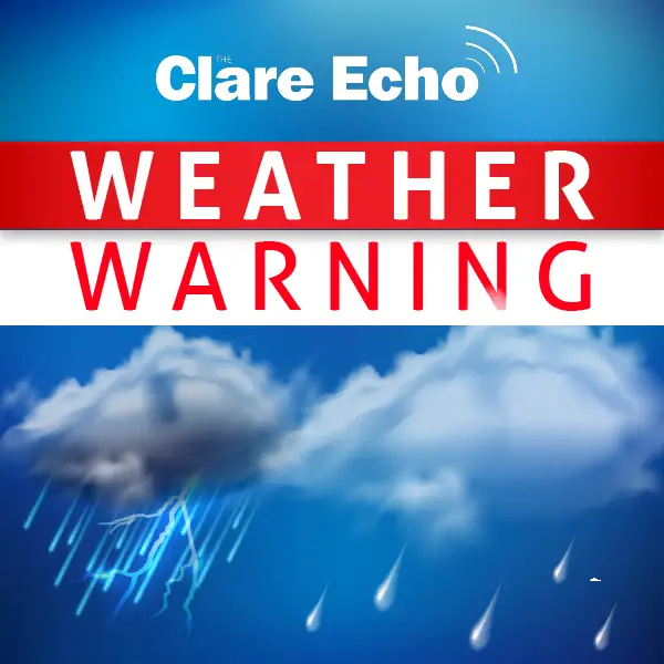
CO CLARE has been placed under two Status Yellow weather warnings by Met Éireann.
A status yellow weather warning for maximum temperatures in excess of 27°C remains in place for Co Clare until 6pm on Sunday. Potential impacts flagged by Met Éireann include water safety issues due to increased use of beaches and lakes, forest fires and heat stress.
This warning is in place from 12pm until 6pm for seventeen counties in Ireland.
Meanwhile, Clare, Limerick, Kerry, Galway, Mayo, Sligo, Leitrim, Roscommon are under a status yellow thunderstorm warning from 2pm to 10pm on Sunday. Heavy thundery downpours have been forecast in parts with potential impacts including surface water flooding, lightning damage, difficult travelling conditions and some outdoor events may be impacted.
Arrival of heavy thunderstorms will mark the break of the brief fine weather spell and the start of an unsettled period. Temperatures are forecast to remain in the mid to high 20s across most of the country this Sunday. However, cooler air is expected to push into the southwest during the afternoon.
Mark Dunphy of weatheire.com explained, “As the current system moves through, frontal rainbands will push northeastwards across Ireland tonight and into Monday morning, bringing more widespread rainfall. Behind them, a mix of scattered showers and brighter spells will dominate for the rest of Monday and through the week.
“Rainfall totals by the end of next weekend are expected to be highest in the southwest (up to 60–70mm), with the southeast and north coast seeing lighter totals around 25mm. Winds will generally be moderate to fresh from the south or southwest to begin the week, easing to light and variable conditions later”.